Planning: The Adopted Regional System, 1966-1968
Next: Revisions, 1969-2001
 |
 |
 |
 |
 |
 |
 |
 |


With the passage of the
1965 act, planners focused on the District of Columbia, ignoring bolder,
regional schemes. Then in 1966, Congress transferred planning power from
a federal agency to a public authority: the Washington Metropolitan Area
Transit Authority (WMATA). WMATA representatives from the District of
Columbia, Maryland, and Virginia sought a regional system with service
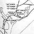
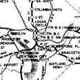
in every direction. Beginning with existing rights-of-way, planners examined
several alternatives, modeling the patronage that each would attract.
In early 1968, the authority approved a 98-mile regional system, naming
it Metro.